
GeoFinderAI
Find where photos were taken using AI.
Product Demo Video
Screenshots

Distribution Score: 84/100 What is this? ⓘ
What is GeoFinderAI?
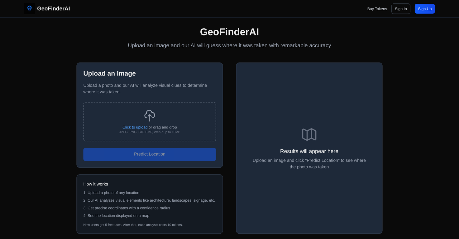
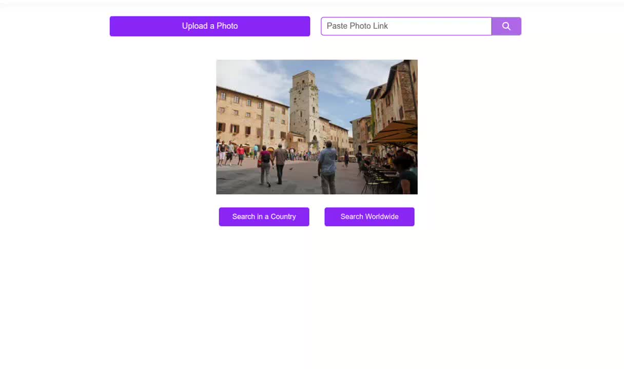
GeoFinderAI is an AI-powered tool designed to detect the geographic location of any uploaded image with high accuracy. The tool accomplishes this task by analyzing various visual elements in the image, such as landscapes, architecture, signage, and more.
It is capable of handling a wide array of image formats, including JPEG, PNG, GIF, BMP, and WebP, with an image size limit of up to 10MB. Once the analysis phase is complete, GeoFinderAI provides not only the estimated geographic coordinates of the location but also a confidence radius, which is represented on a digital map.
This portrays not just the probable location, but also the level of confidence in the prediction. While ideal for identifying and verifying locations from photographic materials, it's important to note that this service operates on a token-based system.
New users receive an initial amount of free uses, after which image analyses will require the purchase and expenditure of tokens. Although the exact number of initial free uses and the cost per analysis may vary, adequate usage guidelines are in place to keep the performance and availability of the tool reliable and efficient.
Featured on platforms like Dang.ai and Startup Fame, GeoFinderAI is continually developing, aiming to improve its accuracy and usability for a diverse range of users.
Learn this stack in Academy
Get implementation playbooks for tools like GeoFinderAI in guided Academy lessons. Start free, then unlock the full library with Learner.
Open Academy →Release History

Pricing details on provider page.
SEOGANT Expert Verdict
GeoFinderAI is an AI-powered tool designed to detect the geographic location of any uploaded image with high accuracy. The tool accomplishes this task by analyzing various visual elements in the image, such as landscapes, architecture, signage, and more. It is capable of handling a wide array of image formats, including JPEG, PNG, GIF, BMP, and WebP, with an image size limit of up to 10MB. Once the analysis phase is complete, GeoFinderAI provides not only the estimated geographic coordinates of the location but also a confidence radius, which is represented on a digital map. This portrays not just the probable location, but also the level of confidence in the prediction. While ideal for identifying and verifying locations from photographic materials, it's important to note that this service operates on a token-based system. New users receive an initial amount of free uses, after which image analyses will require the purchase and expenditure of tokens. Although the exact number of initial free uses and the cost per analysis may vary, adequate usage guidelines are in place to keep the performance and availability of the tool reliable and efficient. Featured on platforms like Dang.ai and Startup Fame, GeoFinderAI is continually developing, aiming to improve its accuracy and usability for a diverse range of users.
Distribution Score 84/100 based on SEO presence, traffic quality, affiliate program, community size, and churn resistance.
Similar AI Tools
Frequently Asked Questions
Founder
Comments (0)
Sign in to join the discussion.